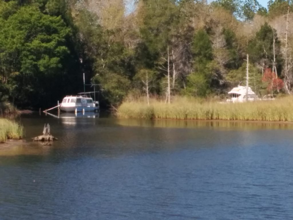
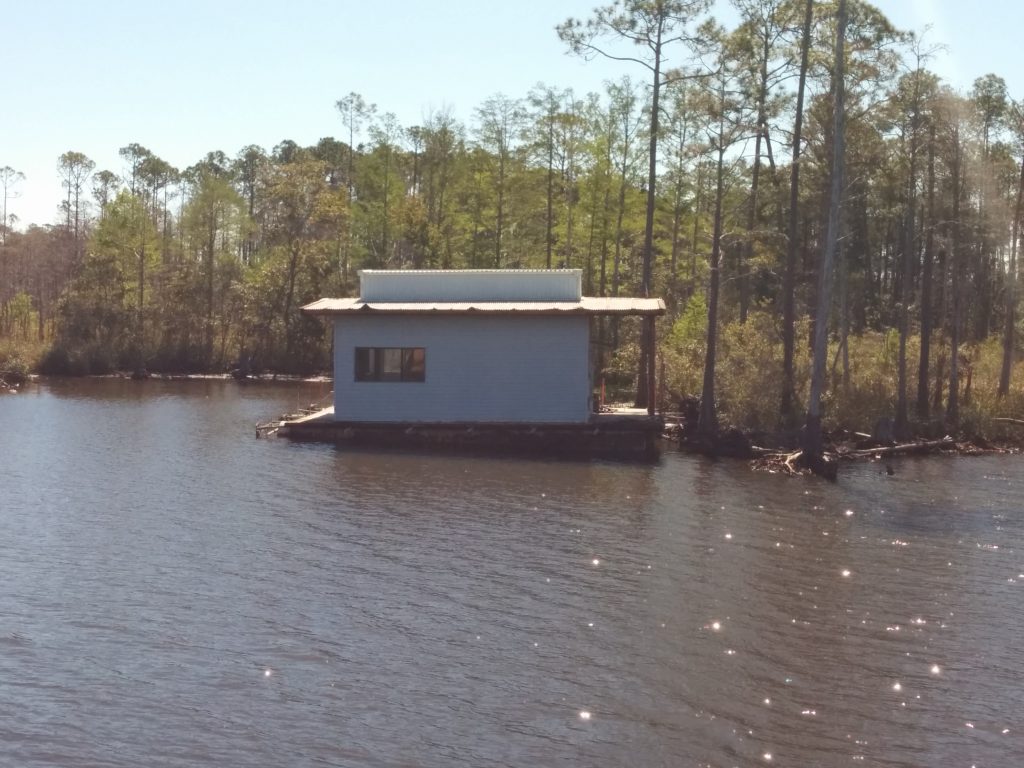
Thursday, March 16th began with a long inland section of the Gulf ICW. Much of the channel cut through existing shallow waterways and swampland. Apparently, it’s not uncommon for people to live aboard, and sometimes abandon, old boats in the side creeks.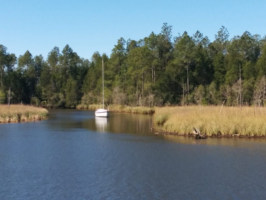
Not to be outdone, this railroad bridge was also abandoned. Fortunately for us, in the “open” position.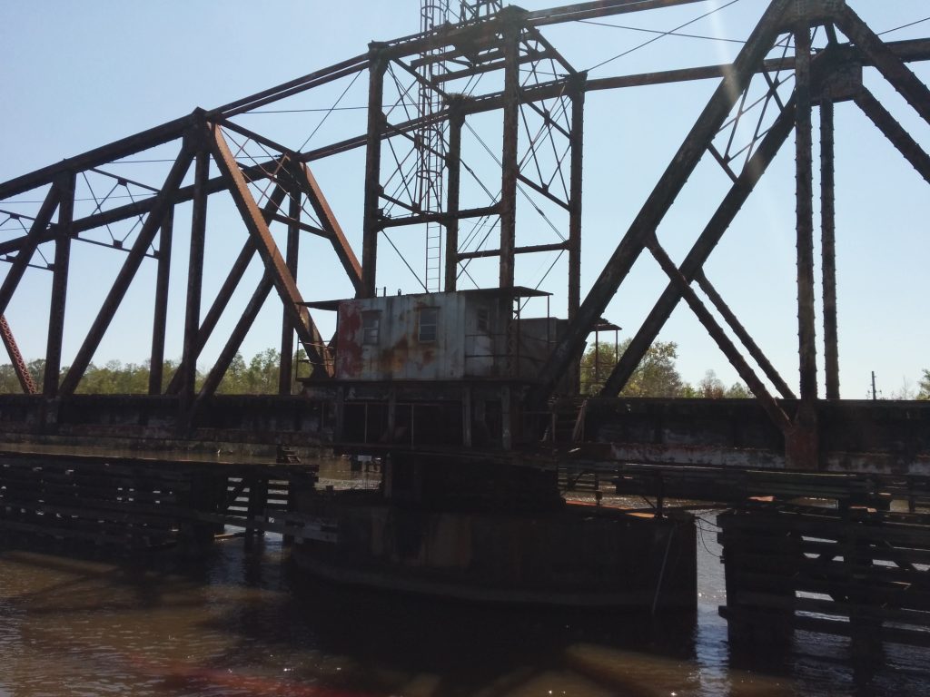
Most of the inland section was pretty monotonous.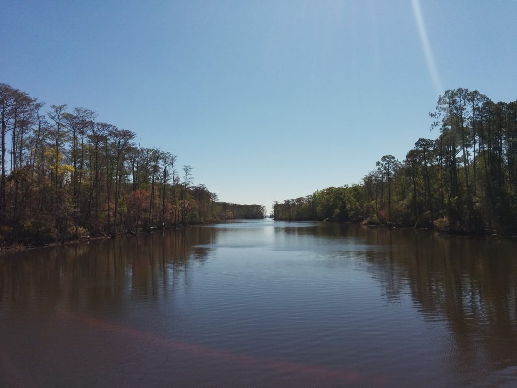
The monotony was broken up by Lake Wimico, a large, shallow expanse of water among the low swampland.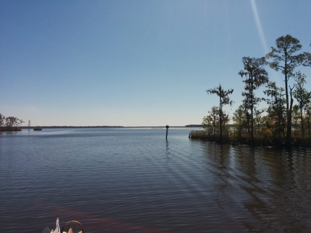
We exited Lake Wimico on the Jackson River, which flows into the Apalachicola River.
The boundary between Eastern and Central time runs along the ICW, then the Jackson and Apalachicola Rivers. Our chartplotter and cell phones were all set to automatically switch between zones. During this stretch, we never really knew what time it was or which device to believe.
In Apalachicola Bay we began to see more dolphins. We were getting better at photographing them before they mysteriously disappeared, but still hadn’t managed a truly clear shot.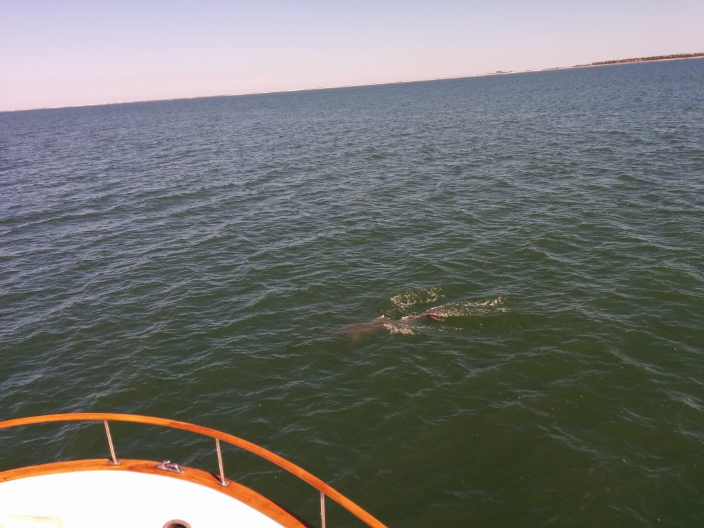
Crossing Apalachicola Bay meant nearing the end of this section of the Gulf Intracoastal Waterway. We’d soon be facing the “Big Bend” of Florida, where we’d be crossing the open Gulf of Mexico.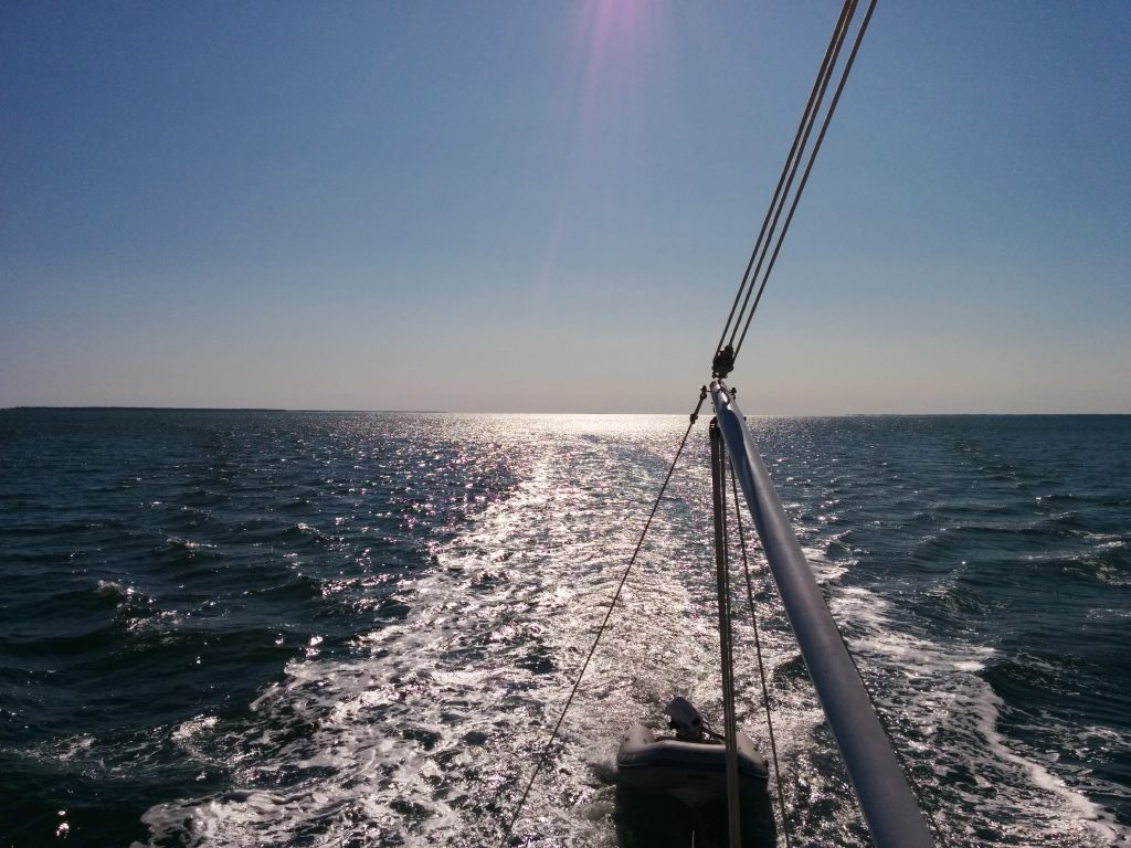
The last scrap of land that could offer protection from open Gulf was Dog Island, off Carrabelle, Fl. The guides showed a good anchorage right off the tip of the island, in open water (the green dot in the upper right.)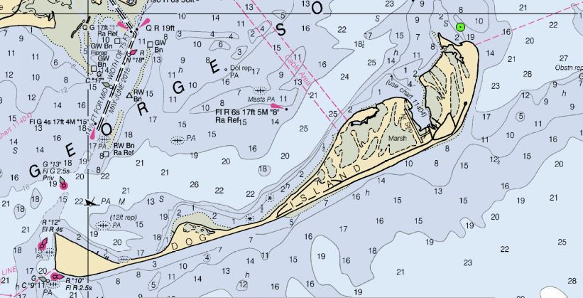
This didn’t look like a very good anchorage until the same display was switched to “satellite” view. It then becomes apparent that the island has expanded since the chart was updated. That same spot is now a protected cove.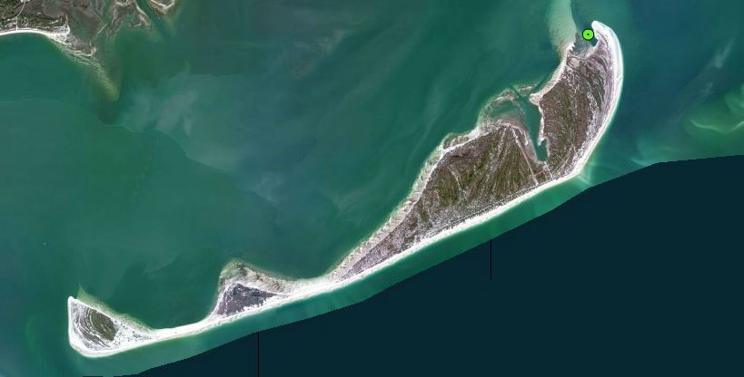
The cove was exactly where advertised, so we disregarded the charts and dropped the hook.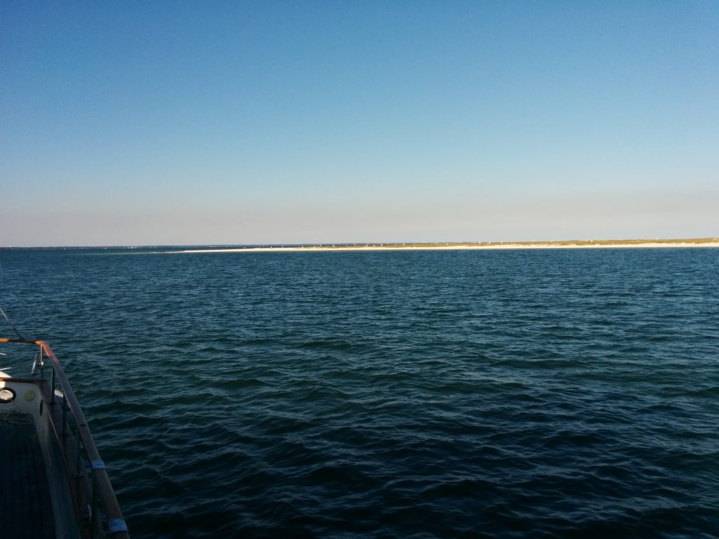
On Day 15 we’d traveled 66 nautical miles, for a trip total of 871 miles.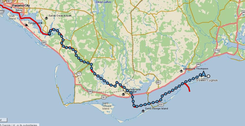
Previous: Day 14 – Ft Walton to Panama City