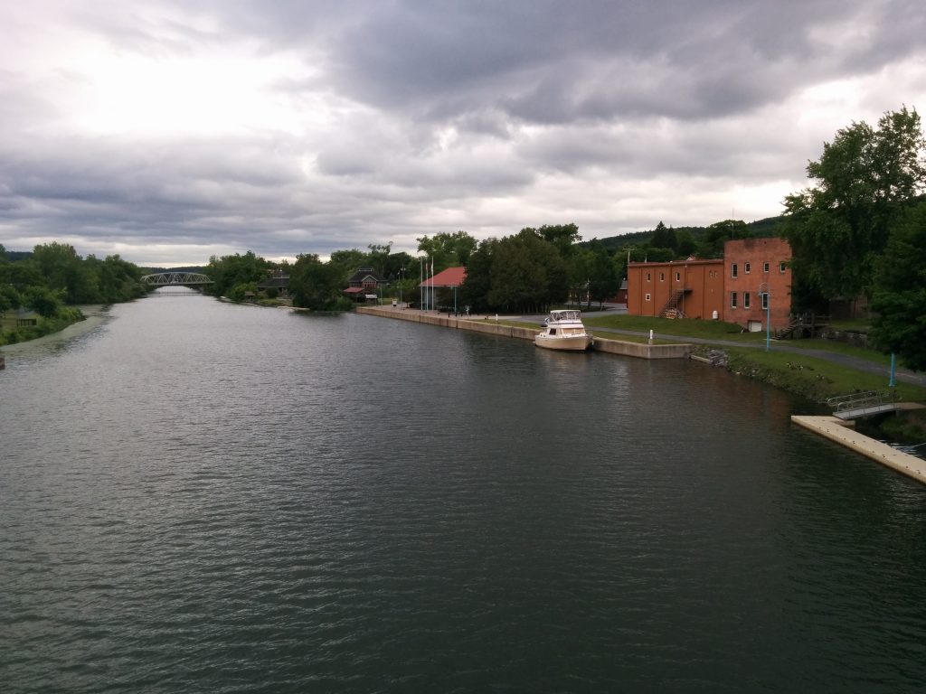
Tides and Currents Again

Monday, June 20th

For the first time since Troy, NY, we really felt the effect of the tides today. The St. Lawrence is a large and fast-flowing river, especially in the narrow sections. But below Trois-Rivières, the effects of the tides can also be felt. On this stretch of river, the flow downriver is interrupted by a reverse flow for a couple of hours each tide cycle, caused by the high tide downstream.

These currents can be swift, and can be a serious problem for a slow boat if not timed correctly. There are tide tables and current atlases that can be used to estimate the exact direction (set) and speed (drift) of the current in any one-hour window at any spot on the chart. Then you can factor in your boats normal speed and calculate when is the best time to leave so you have the largest possible fair (favorable) current for most of the trip.

Fortunately, one of our guide books did all the math for us, and all we had to do was pick our starting point, destination and boat speed, then read from a table when to leave. Today it was 8 hours before low tide in Quebec City, which was at 2:16 PM. That meant getting underway at 6:15 AM. Ouch.

But the calculation was correct, and we made the 67-mile leg from Trois-Rivières to Quebec City almost exactly on time. We typically travel at an economical speed of 7.5 knots. With the engines set for that speed, our actual speed over ground (SOG) at one point was showing over 13 knots.
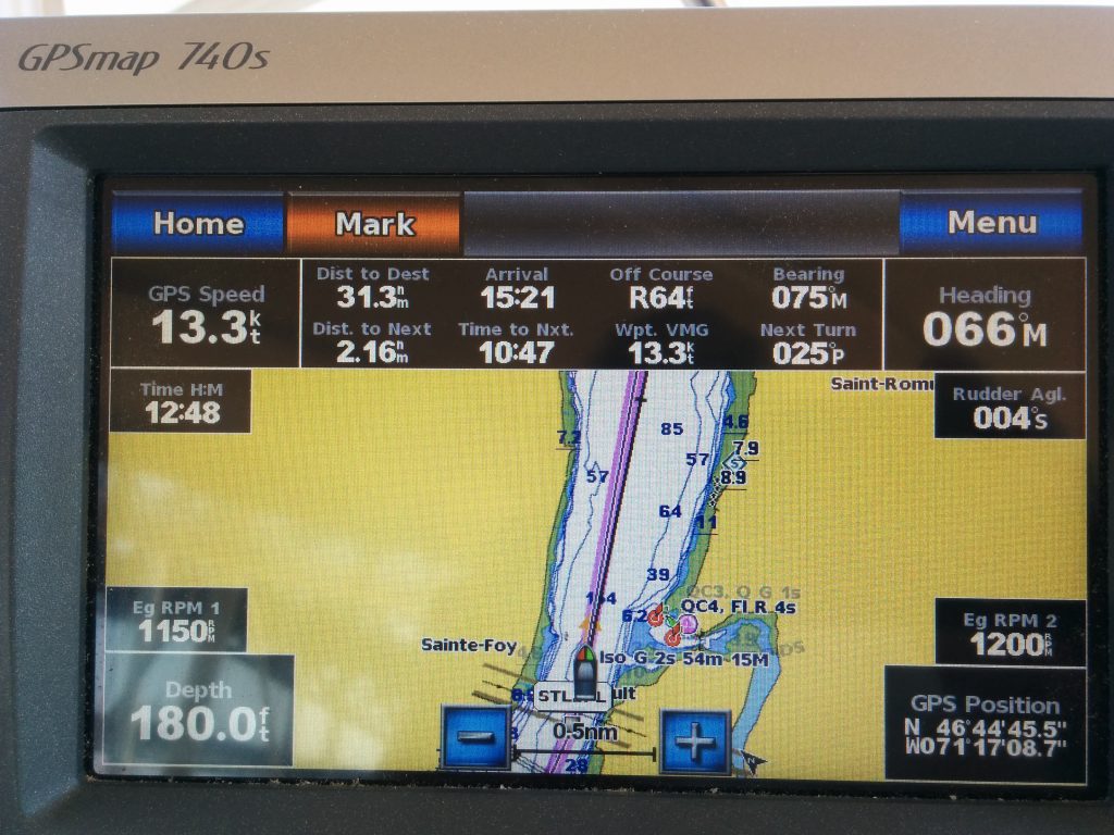
Cruising at over 13 knots

Our destination was the Port of Quebec Marina in Quebec City. It’s right downtown below the old, walled city.
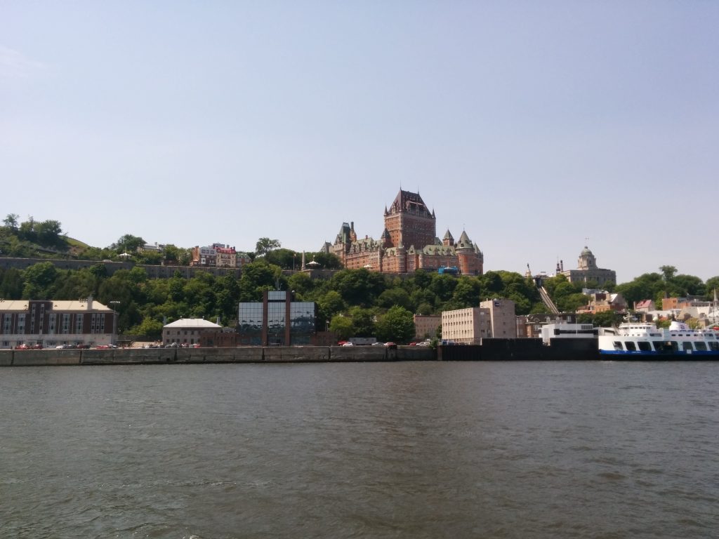
Arriving at Quebec

The marina is enormous. It has its own lock at the entrance to keep the marina at a constant level, rather than rise and fall with the 15-foot tides.
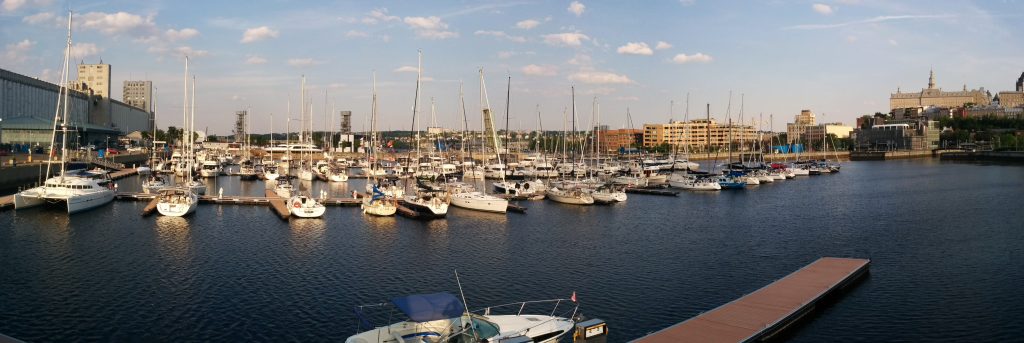
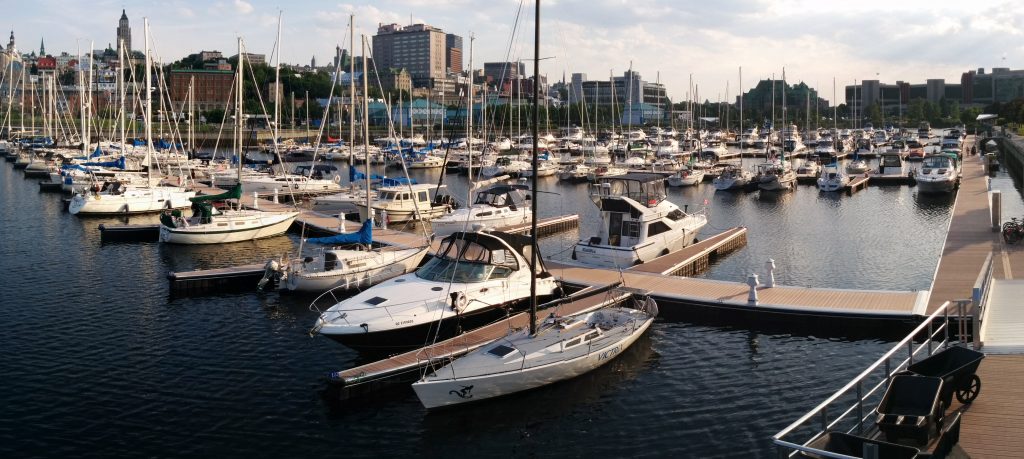
marina looking east
marina looking west

Entering the lock and then, entering the tight slip at the far end of the marina and down a long fairway, was complicated by a 22-knot Southwest wind with gusts to 32 knots. This would be a challenge for most boats, but Cygnus is especially affected by wind. It seemed the whole marina turned out to watch me attempt this feat. Fortunately there was a competent dock hand and another friendly boater ready to take lines from my own highly-trained crew, and we made a perfect landing (on the third try) without hitting any other boats. The crowd cheered.

The plan is to recuperate here in Quebec City for two or three days before we hit the most challenging and remote portions of the trip.

  • Miles traveled: 760.3
  • Engine Hours: 115.9
Turning East

Sunday, June 19th

Today we locked through at St-Ours and ran the remaining 12 miles of the Richelieu River to Sorel.

At Sorel, we turned right onto the St. Lawrence River. It was good to see the “E” on the compass again, after looking at “N” for so long!

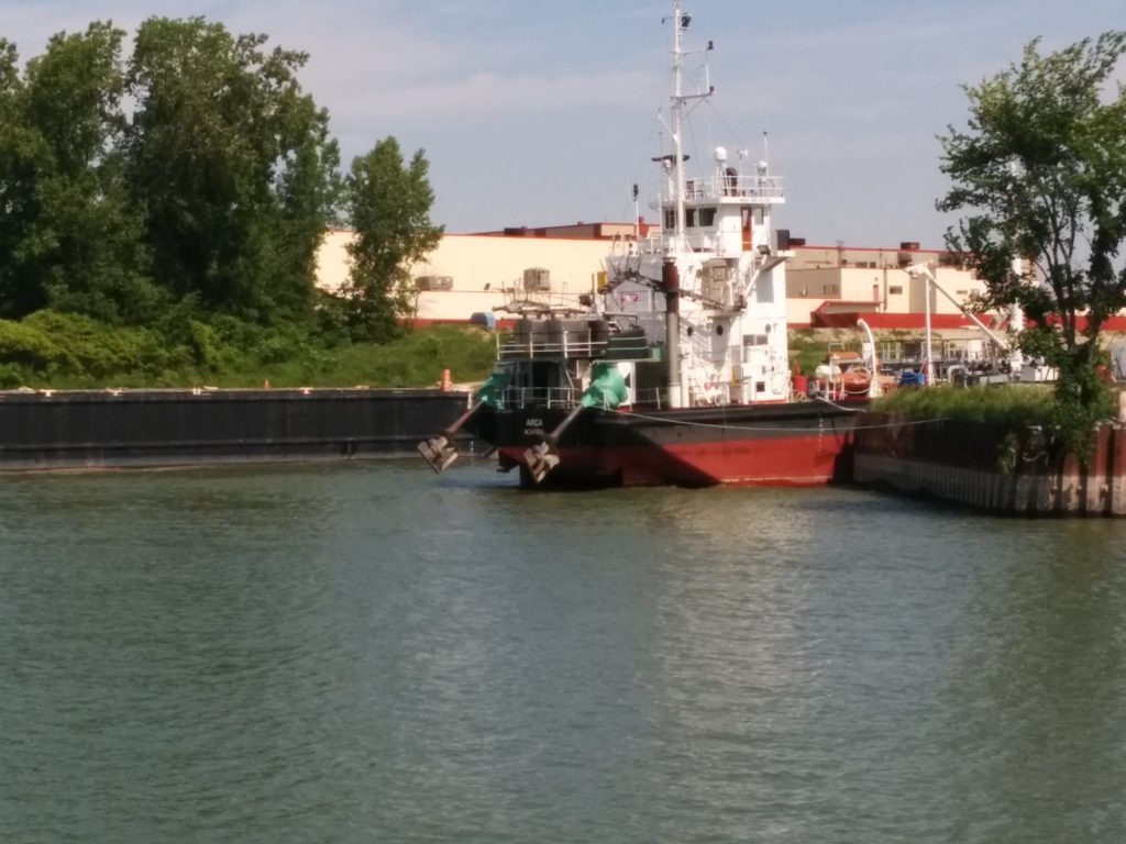
Sorel is a busy industrial port, with large freighters, tankers and barges of all kinds. Here’s one you don’t see often – an outboard-powered cargo ship:

Outboard Cargo Ship

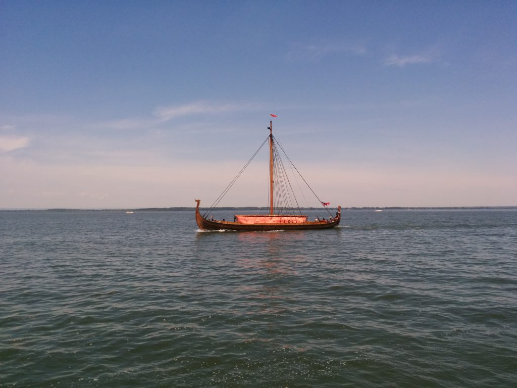
And this. Not really sure what this was. I expected to see big, red-haired guys with horns on their helmets, but the crew didn’t look like Vikings.

Viking Ship?

Pretty soon we’ll be feeling the effects of the tide again. At Trois-Rivieres (Three Rivers), where we anchored for the night, rumor has it there can be as much as an 11-inch tide change. I’m not sure we’d notice, but it’s still a milestone.

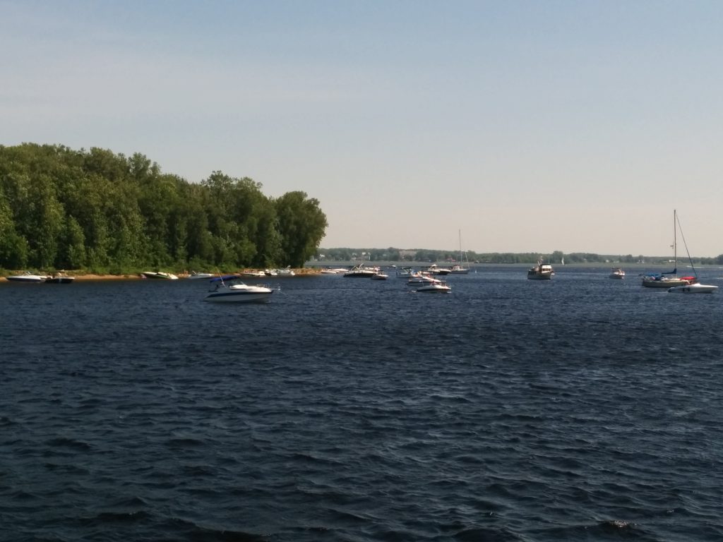
The waterways have been packed this weekend with recreational boats of every description. With temperatures in the low 30’s (that’s 90’s, Fahrenheit) it seems everyone in Quebec Province who can get out on the water has been doing so. The anchorage here was full of boats, swimmers, Jet-Skis and loud music. It looked like everyone was having a great time. Things quieted down pretty quickly once the sun went down, and only one other boat remained in the anchorage overnight.

Party Cove

Several people have commented on our rapid progress. After three weeks underway, we’re approaching the 1/3 mark for total mileage. In theory, we could do the trip in 45 days. We set a goal of 90-100 days so we wouldn’t be rushed. We’ve been taking advantage of the good weather to save time in the schedule for future bad weather, mechanical problems or possibly just sight-seeing.

  • Miles traveled: 692.7
  • Engine Hours: 108.1

More Locks, no Wi-Fi

Saturday, June 18th

Today we completed the Chambly Canal and a good part of the Richelieu River. In the end we only covered about 35 miles.

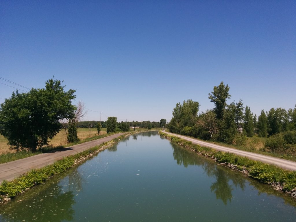
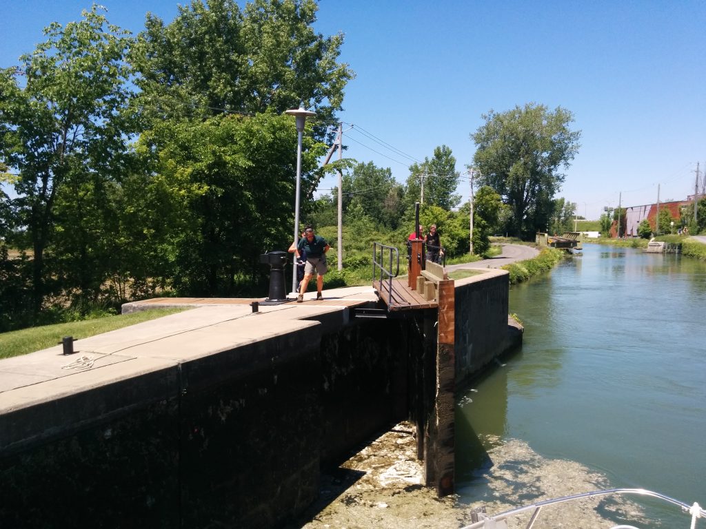
In most of the canal there’s a 5.5 knot speed limit. And locking through the old, hand-cranked lock gates takes time.

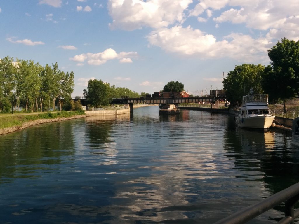
Canal

Cranking open the lock gate

Also, we had a 3-1/2 hour delay at the last flight of 3 locks due to a bridge that wouldn’t open.

We decided to push on anyway, after the repair. We hoped to anchor in Chambly Basin or at a highly recommended Anchorage farther downstream. It was a hot Saturday and both locations were very crowded.

Instead we kept going to the final lock at St. Ours. This will allow us to start our final push to the St. Lawrence tomorrow.

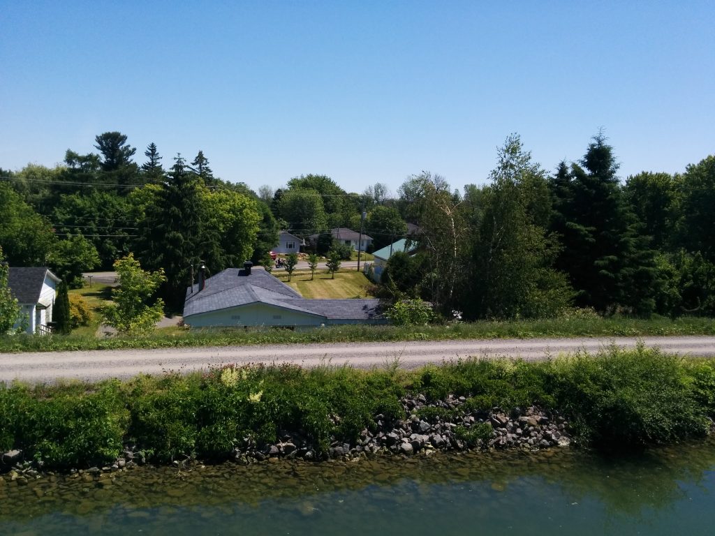
In places, the canal is actually above the ground level on one side, so there are places where we were looking down on the roofs of houses from the flybridge of the boat!

Looking Down

It was a long, hot day and there was no Wi-Fi at the lock so I’ve updated this post with pics after the fact.

  • Miles travelled: 647.7
  • Engine Hours: 102.6

est arrivé au Canada

Friday, June 17th

We technically left US waters today and crossed into Canada. I say “technically” because it felt like we were in Canada already last night. Gaines’ is a great marina, owned and run by a family from Maine. However, it appears every customer is from Quebec province. This morning there was only ONE car in the entire lot with a US license plate. All the boat names are in French, and that’s the only language spoken on the docks, except by the employees.

Leaving the US Behind

Clearing through at the Customs dock was quick and simple, and the people were friendly. They even came out to help us tie up. Priority one for the day completed, we moved on to priority 2.

About 18 miles up the Richelieu River are two swing bridges, the first lock on the Chambly Canal, and the town of Saint-Jean-de-Richelieu. Priority two for the day was to reach St-Jean and find the Bell Mobility cell phone store to get a Canadian SIM card.

We arrived at 12:30, which our most recent guide book said was when the first bridge would open. It turns out the schedules are not well publicized, and subject to change. Even a local boater we asked had the wrong information. We got through at 1:30, and were told by the bridge tender to tie up at the float before the lock.

It turned out the lock opens twice a day on weekdays. We were there in time for the 1:30 opening, but there were two boats in front of us, and there wasn’t room. The next opening is tomorrow at 9:30 AM. This actually worked out well, since the dock we are on is nearer to the street the Bell Mobility store is on, and we’d planned to spend the night on the other side of the lock anyway. Apparently on weekends the locks operate more frequently. Depending on who you ask, it’s either continuously or hourly. We’ll find out tomorrow.

Around 4:30 PM, the swing bridge behind us also closed, so we’re here for the night, like it or not!

At the lock wall

At the Bell store, I found a staff member who spoke better English than my (almost non-existent) French, and it turns out I can’t get a monthly plan because I’m not a Canadian citizen. I ended up with a pre-pay plan which allows me unlimited text to and from the US, along with some data, but phone calls to or from the US are 50 cents a minute, so we won’t be making too many calls! Post a comment here or send to us from the tracking page if you want our number.

In the end, we met our two goals for the day. St-Jean is a great little town. I picked up a few groceries at a large supermarket on the way back from the phone store. I’m learning to read some French, but speaking it is coming more slowly. I need to consult my French-English book and find out how to answer important questions like “credit or debit?”

  • Miles travelled: 610.8
  • Engine Hours: 96.3

Almost To Canada

Thursday, June 16

We can see Canada from here. I guess that makes us experts on foreign policy.

Today we unfortunately had to say goodbye to our visiting crew, who are on the train back home from Plattsburg.

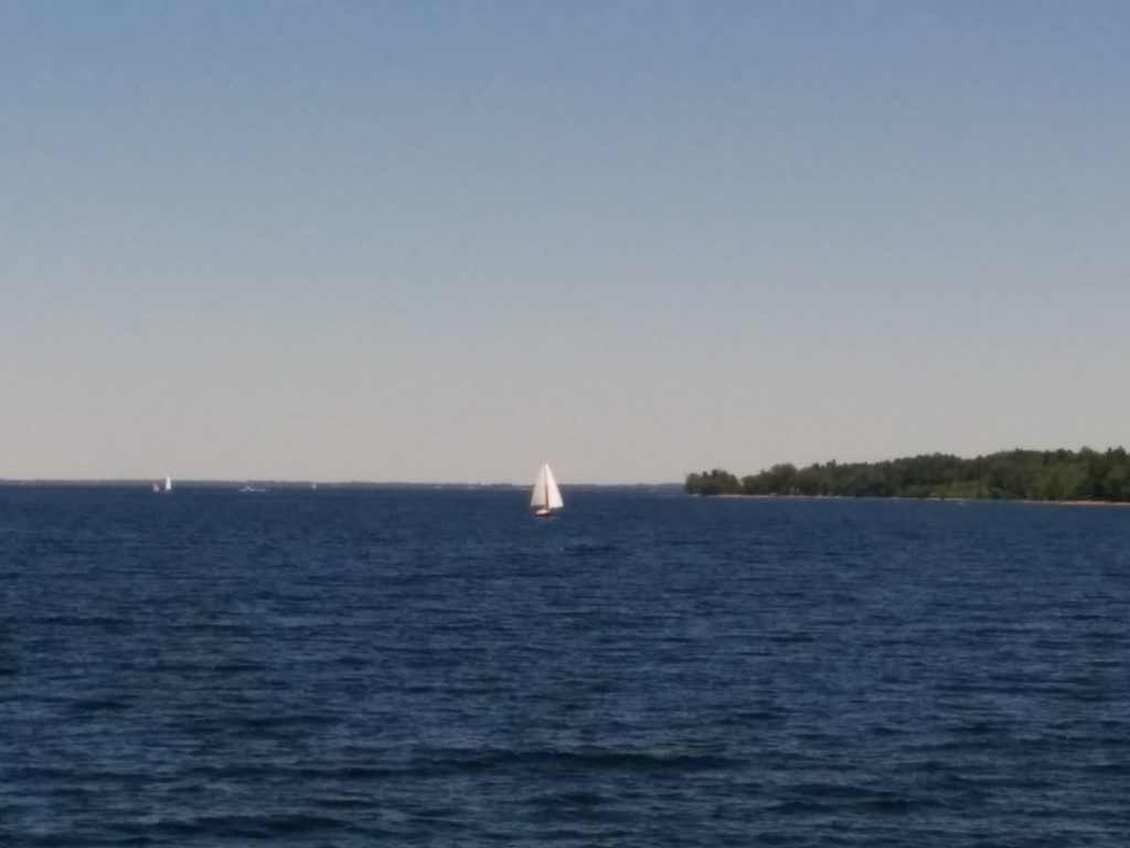
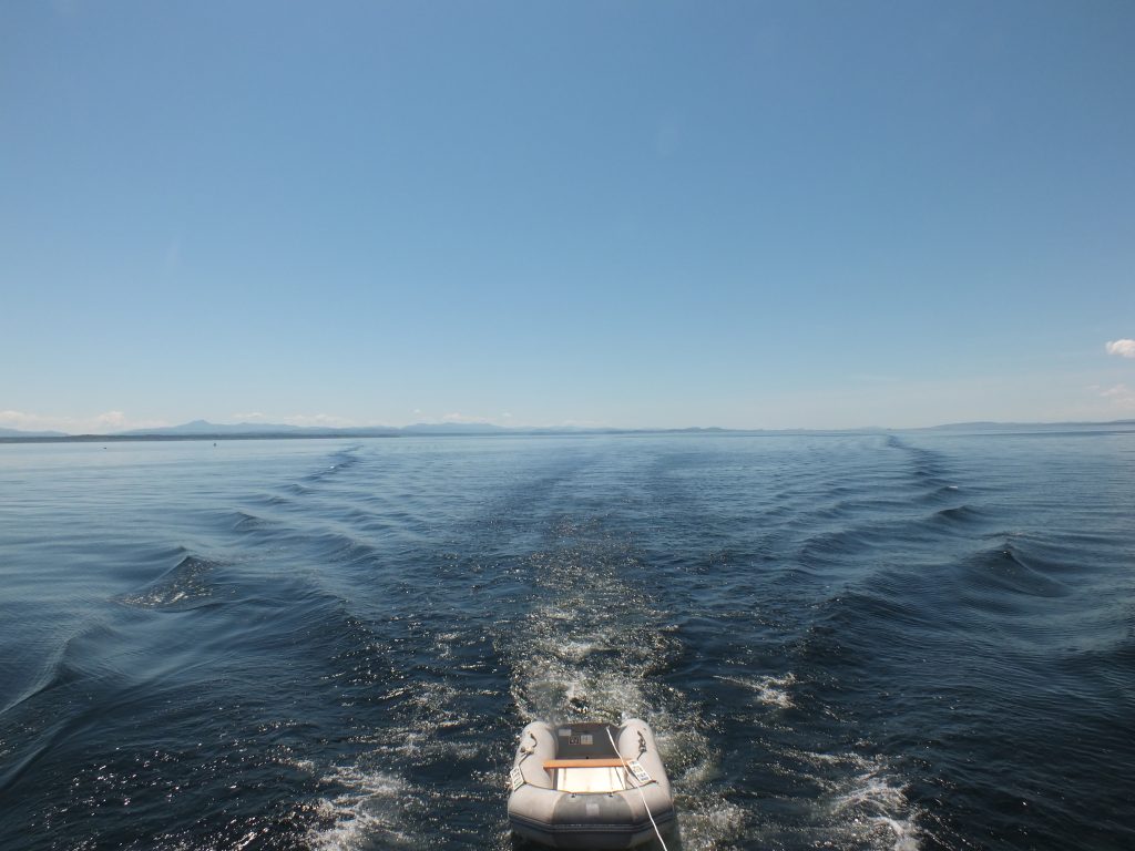
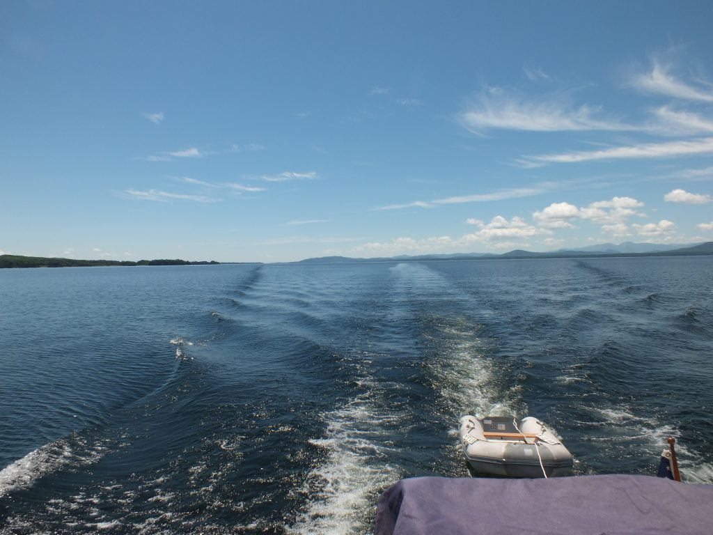
Lake Champlain

We completed our transit up Lake Champlain, and are ready to cross the border tomorrow. Today’s mission was to top off our fuel tanks one last time before having to pay Canadian taxes, get as close to the border for the night as we can, and get our papers ready for going through customs tomorrow.

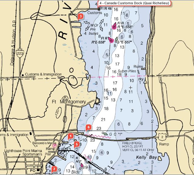
Clearing customs as we enter the Richelieu River should be simple. Canada has a Customs dock along our route.

We’re currently at Gaines Marina, #2 on the chart below:

Canadian Boarder Chart

We had our first equipment failure today. Our backup GPS chartplotter suddenly failed to receive signals from the GPS satellites. Of course, being prepared, I had a spare GPS antenna ready to go. That did no good, so I assume the failure must be internal to the 2000-era chartplotter. Along with redundancy, this unit feeds our primary VHF marine radio with our position, in the event we need to hit the “distress” button. It’s also where I track my daily mileage numbers.

So, plan “C” was to connect the chartplotter to an external source of GPS data. The wires from the newer, primary chartplotter were handy, and after digging through a few menus the old unit is back to tracking location using a feed from the newer one. For the record, we have several other options for GPS data, including our AIS beacon, two cell phones, two tablets, a laptop, the InReach Locator and, in a pinch, an ancient hand-held unit that’s programmed with all our waypoints.

  • Miles travelled: 589.7
  • Engine Hours: 92.5

A Great Day on the Lake

Wednesday, June 15th

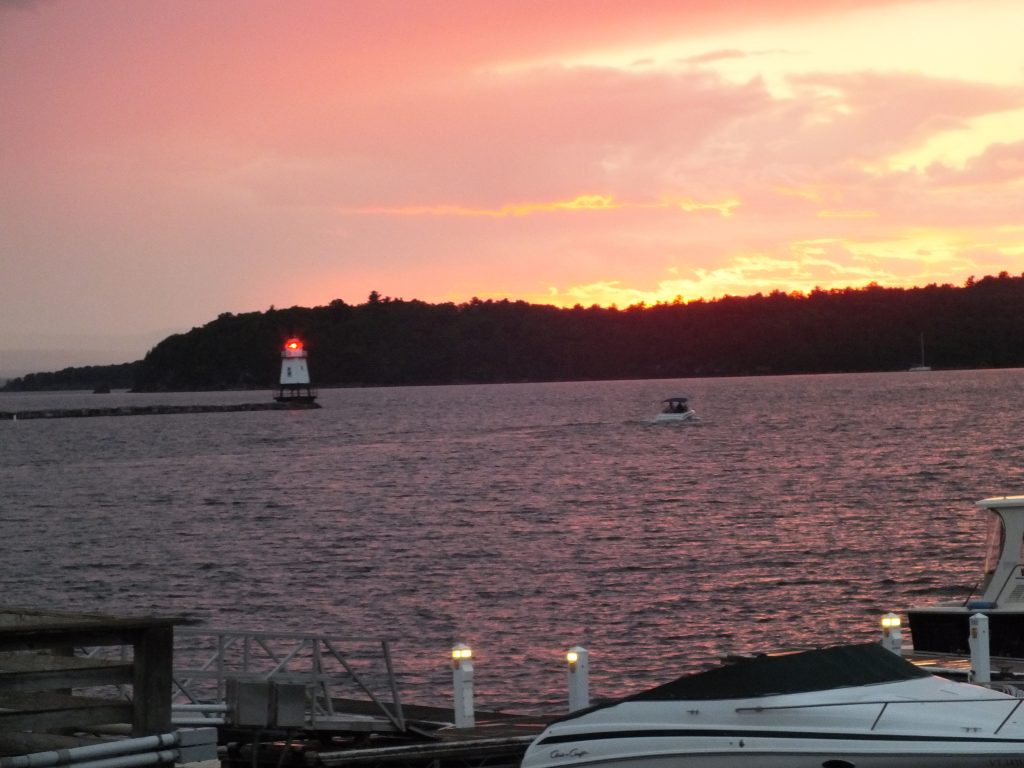
Last night we were treated to a great sunset in Burlington.
Burlington Sunset

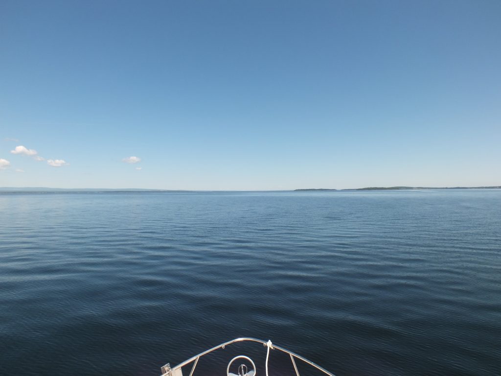
Crossing diagonally across Lake Champlain from Burlington to Plattsburg, NY put us on a course that crossed the lake at the widest point.

Crossing Champlain

The weather today was ideal. Warm with light and variable breezes.

Crossing Champlain

Plattsburg puts us within reach of the Canadian border, and unfortunately is the hopping-off point for our guests to take the train back along the lake and river to Albany.

We’re spending the night at the Plattsburg Boat Basin, a fairly large marina where about 75% of the boats belong to Canadians who keep the boats here for the summer. The boating season hasn’t really gotten underway here yet. One marina we tried for tonight doesn’t open until tomorrow, and we’ve seen very few other boats along the way. One Downeast Loop guide suggested not getting to the upper Hudson before June 10th, with the only explanation being it would be “too cold.”

Today it’s in the mid- to upper 70s, and the boat next to us has been running their air conditioner. We’ve only had to run the heat a couple of times so far.

  • Miles travelled: 567.4
  • Engine Hours: 89

The Big Lake

Wednesday, June 15th

Lake Champlain continued to widen today as we passed Split Rock Point. The lake has the feel and smell of the ocean. Winds were light and we made good progress to the widest section of the lake.

Across Champlain

Our destination was Burlington, VT.

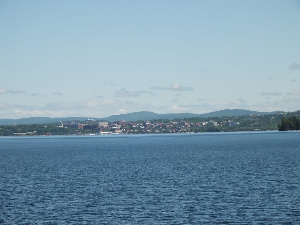
Burlington

This turned out to be a great stop. A busy waterfront with a museum, tour boats, restaurants and a free shuttle to other parts of town.

  • Miles travelled: 550
  • Engine Hours: 86.4

Lake Champlain

Monday, June 13th

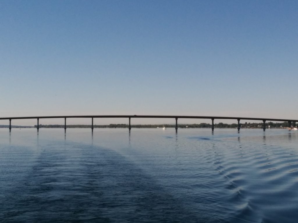
After a long run through Champlain Narrows, we officially entered Lake Champlain proper, passing under the Lake Champlain Bridge. The Coast Guard (it was good to hear them again after so much time on State waters) was issuing warnings for high winds on the lake, so we found a marina just above the bridge for the night.

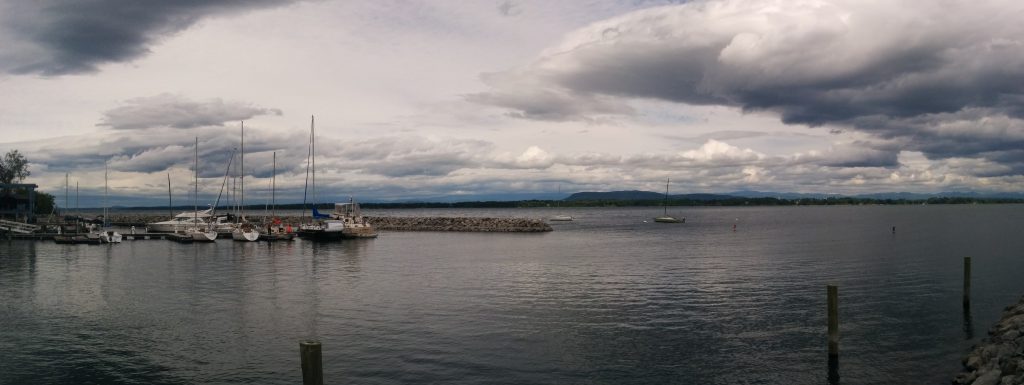
Port Henry Marina is a fairly new facility that’s well-protected from the lake by a breakwater.

Cygnus at Port Henry Marina

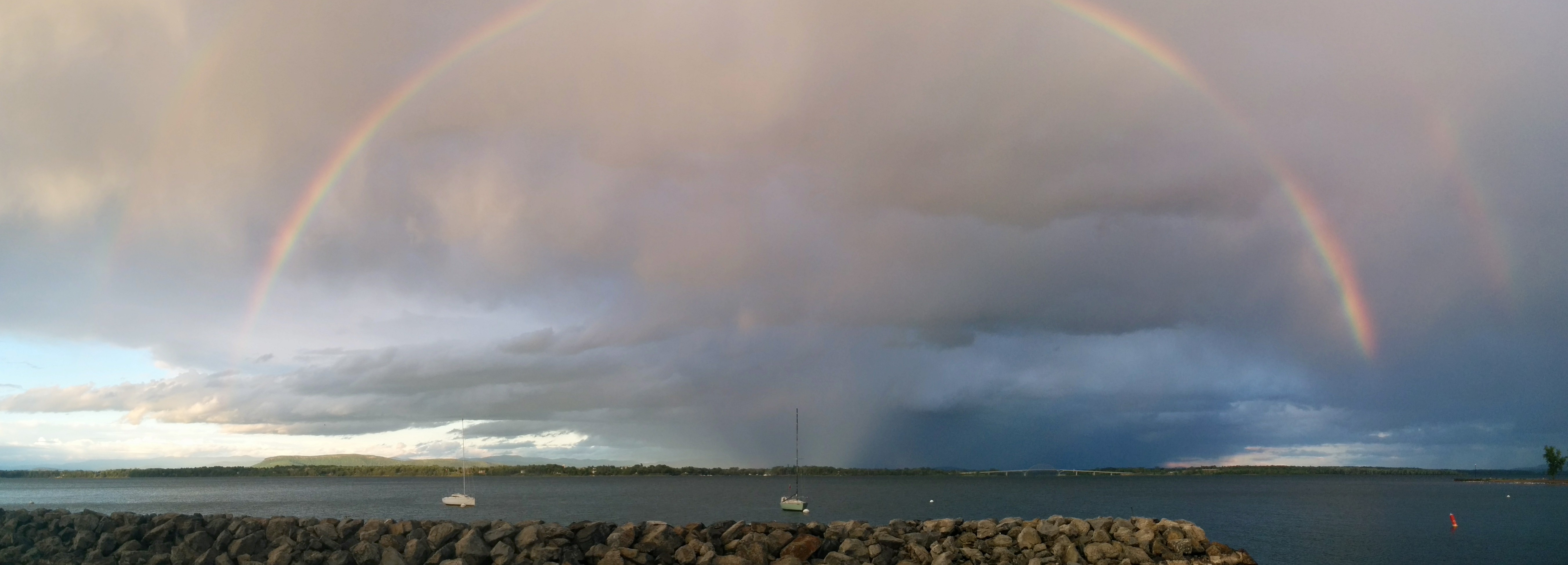
At least where we were, the forecast winds never materialized. Maybe out on the larger section of the lake they did. After a walk to town punctuated by a brief rain shower, we were treated to a full double rainbow.

Port Henry Rainbow

  • Miles travelled: 521.7
  • Engine Hours: 82.6

Old and “New”

Monday, June 13th
The Champlain and Erie Canals were first opened in 1819. Although when travelling the canal today it’s obviously a relic of past times, there have been a number of upgrades in the past (almost) 200 years.

The Canals were an immediate financial success, as the fastest and most efficient way to transport cargo before railroads, highways and air travel.

From the NY State Canal web site: “Between 1835 and the turn of the century, this network of Canals was enlarged twice to accommodate heavier traffic. Between 1905 and 1918, the Canals were enlarged again. This time, in order to accommodate much larger barges, the engineers decided to abandon much of the original man-made channel and use new techniques to “Canalize” the rivers that the canal had been constructed to avoid the Mohawk, Oswego, Seneca, Clyde and Oneida Lake. A uniform channel was dredged; dams were built to create long, navigable pools, and locks were built adjacent to the dams to allow the barges to pass from one pool to the next.”

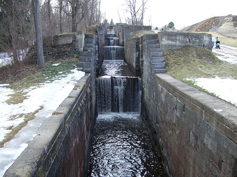
This is a “second-generation” lock, still tiny by today’s standards:

Second-generation lock

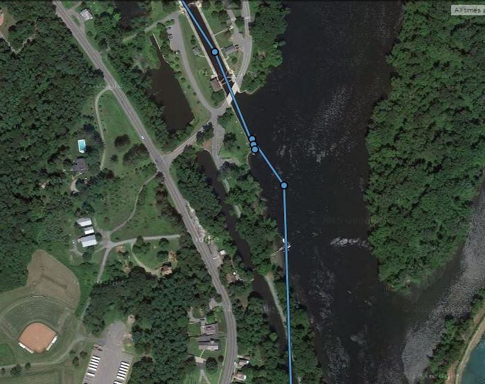
In many places, previous generations of canal are still there. During our stay at Lock #5, we were able to follow the old tow path along the old canal into town. In this shot from our tracking page, you can see lock 5 and where we stopped at the top center of the photo, and the old canal to the left of the new one.

Old canal near lock 5

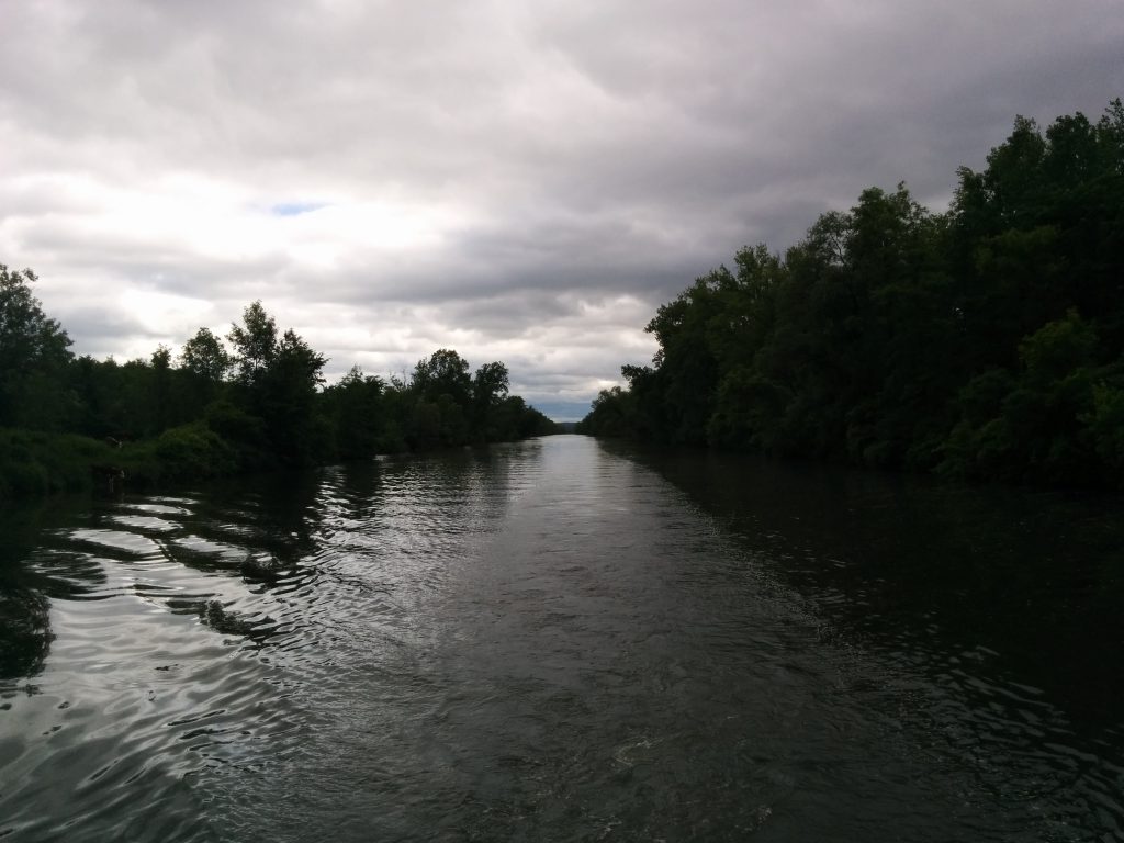
The old canal:
Old Champlain Canal

A little trivia about the DeLorme InReach tracking page. The InReach sends out our location every ten minutes. The tracking page joins these points with straight lines. In many places, we don’t go in a straight line for ten minutes. So despite what the track line on the web page shows, we really try not to travel over land very often!

There are cases, however, where the navigation charts don’t exactly match the real world. After all, when you’re in a canal, do you really need GPS to tell you which way to go? I guess there’s no real reason to update the charts to reflect the accuracy of modern electronics. So according to all of our different electronic navigation tools, we traveled quite a distance across solid ground over the past couple of days.

Through the Champlain Canal

Sunday, June 12th

Lock 5 opened at 9:00 AM. We were the only ones through. We made it all the way to the end of the Champlain Canal, lock 12. We never saw another boat underway, and the lock tenders all said we were the only ones they had seen that day.

Much of the Canal actually follows the natural channels of the Hudson. The naturally shallow sections are dealt with by dams that impound a “pool” of water behind them. The lock brings the boat up (or down) to the level of the next pool, allowing continuous travel by boat.

There are also sections where the canal splits away from the natural river bed to follow a man-made land cut. This happens more and more as we move farther up the Hudson, which eventually veers off and leaves the rest of the canal as essentially one long land cut. Since the land cut is especially sensitive to erosion, there are strict “no wake” speed limits in these sections. It makes for a long day.

Champlain Canal Land Cut

Just before the last lock, the town of Whitehall maintains a terminal wall for transient boaters, complete with water and power. Of course, we were the only ones there.

Whitehall Dock

Whitehall is famous for… OK, nothing really. They did have a couple of faux-reality TV shows come through last year to record shows about the Sasquatch a local alledgedly saw here years ago. There’s a wooden carved Sasquatch here in the park.

Like so many towns in this part of the state, Whitehall is in a post-industrial transition. Fabulous old architecture, some restored and some decaying, is everywhere. History permeates everything. In some ways, it’s like going back in time. We’d love to be able to spend more time exploring.

Today’s milestone was passing 43 degrees, 05 minutes North latitude, which is the latitude we started at. From here on in, we’re North of our home port.

  • Miles travelled: 487.6
  • Engine Hours: 77.5